D.G. Beers Maps
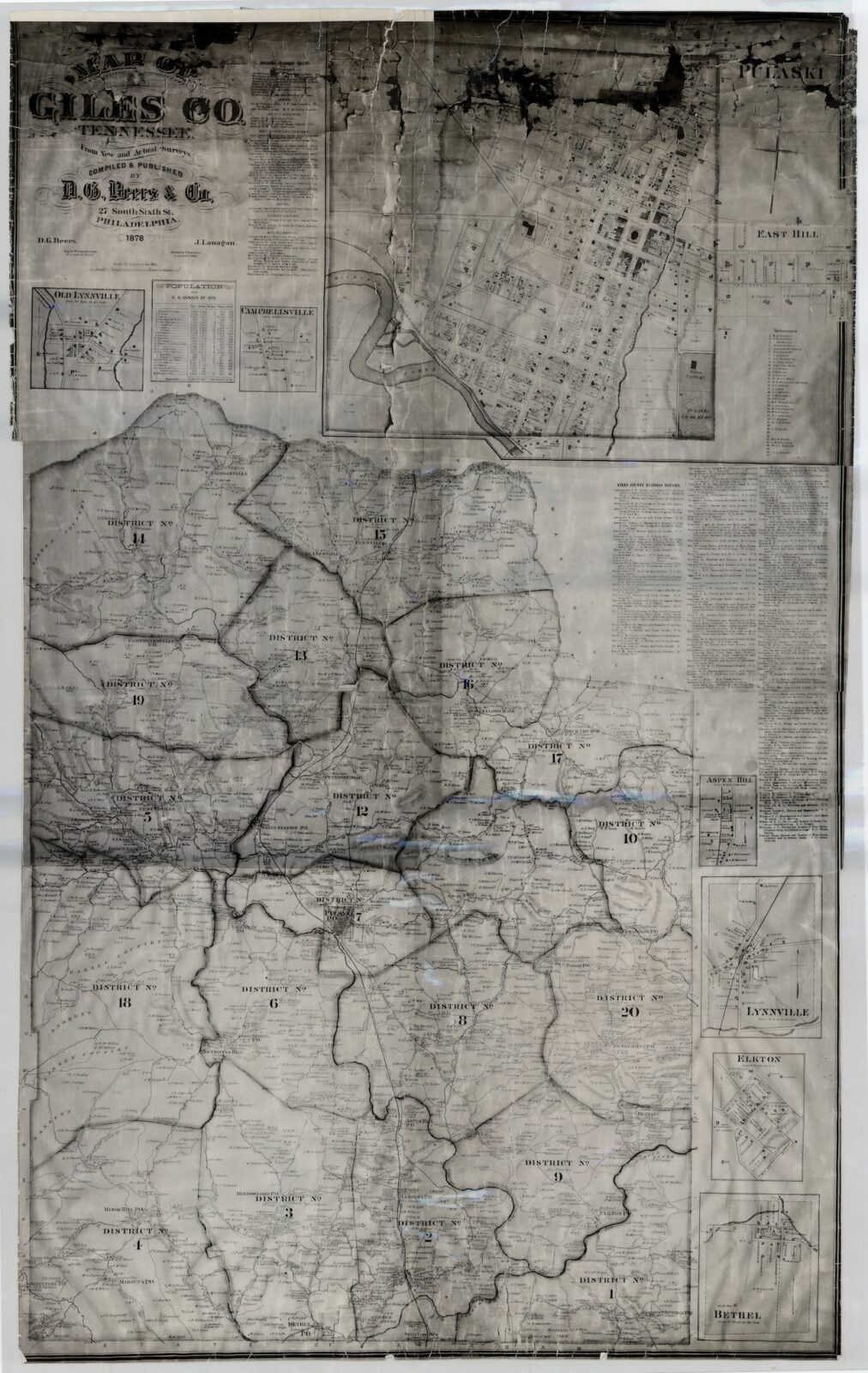
D. G. Beers maps were These maps are detailed maps of Tennessee counties created by Daniel Glover Beers and his company, D. G. Beers & Co. valuable for locating farms, homeowners, and landowners in the late 19th century.
- The maps included roads, railroads, streams, schools, stores, residences, post offices, and civil districts.
- The maps also included business directories and insets of towns.
- The maps were cadastral maps, which means they showed property ownership.
- The maps were hand colored to emphasize township boundaries and areas.
Daniel Glover Beers (1841 – 1913) was an American farmer, surveyor, and mapmaker. Several maps were made of Tennessee counties.
They are linked below.

