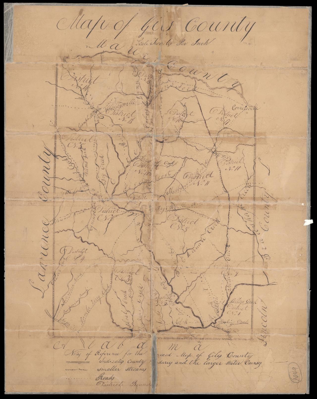
Giles County Map Showing Civil Districts (1836)
This is a hand-drawn map of Giles County showing civil districts, rivers, creeks, towns and roads, many of which are named. Included are the descriptive surveyors notes – metes and bounds – delineating civil district boundary lines.
These 1836 county maps showing the new civil districts, required by the new state constitution, written in 1834 and ratified the following year, which mandated such civil divisions for taxation purposes, were done for many counties. Giles County was created in 1809 from part of Maury County. The county seat and largest city is Pulaski.
The map and description of each district are available to download here.

