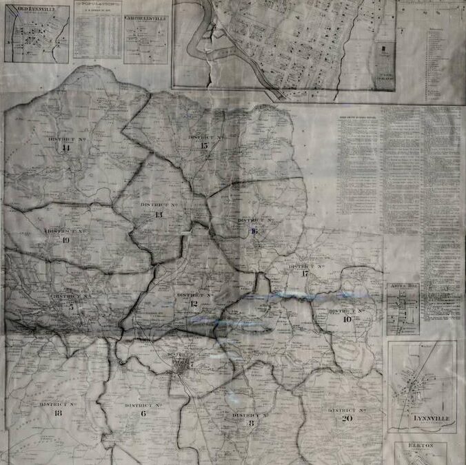
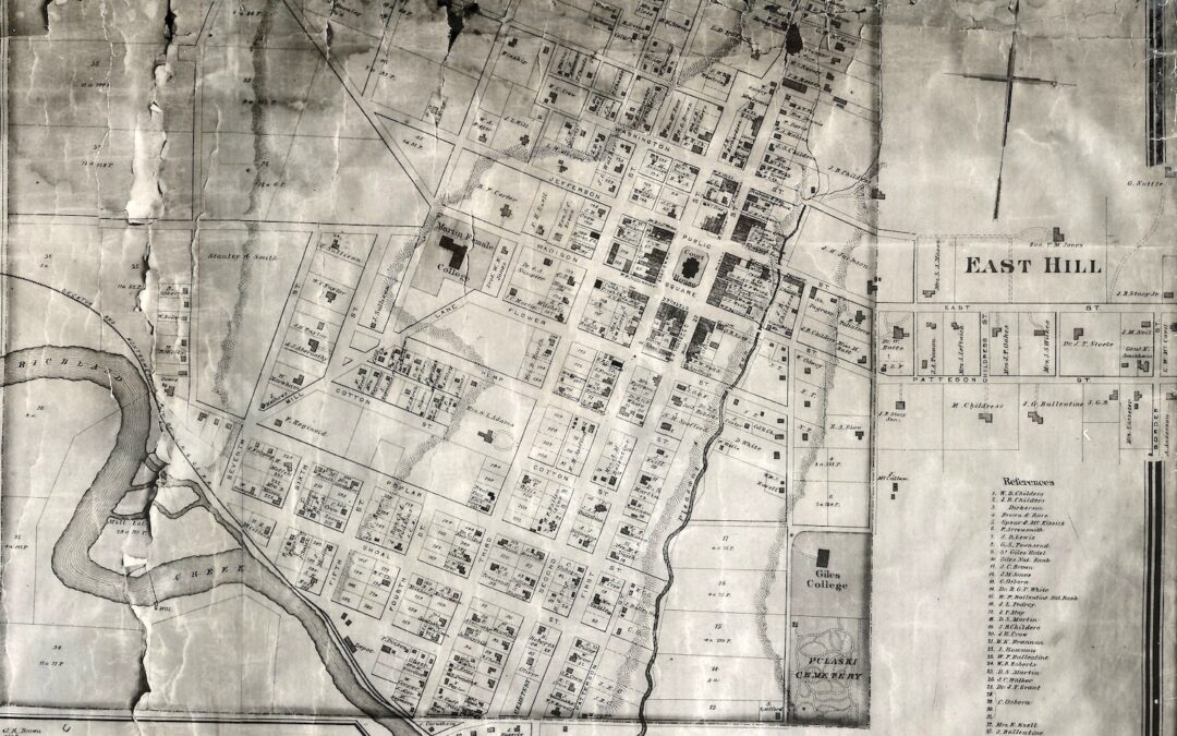
 D.G. Beers Maps D. G. Beers maps were These maps are detailed maps of Tennessee counties created by Daniel Glover Beers and his company, D. G. Beers & Co. valuable for locating farms, homeowners, and landowners in the late 19th century. The maps included roads,...
 First Oil Well to be Opened on Beeler Farm 17 Carloads of Machinery Expected to Arrive Next Week for Campbellsville Drilling Company Plans to Sink First Well to Depth of 5,000 to 8,000 Feet Within a few days, Giles County will witness the start of efforts to extract...
 First Telephone Office The first telephone service in Pulaski was over a toll line from Nashville in 1884. This line was constructed by the Cumberland Telephone and Telegraph Company, which had been organized in 1883 with the general office in Nashville. In 1885 the...
 Four Cornerstones of Pulaski This article entitled “Old Land Marks” appeared in the – May 7, 1924, issue of the The Pulaski Citizen. By a treaty between commissioners representing the United States and Indian tribes entered into July 23, 1805, the...